Green Corridor
What is a green corridor?
We’re creating a green corridor of connected stretches of land along the HS2 route. These provide space for wildlife habitats and new green spaces for local communities.
Protecting the natural environment
We’re working to reduce disruption to landscapes and wildlife as we design and build the railway. These case studies show how we’re conserving habitats and supporting protected species.
Conserving habitats and supporting protected species
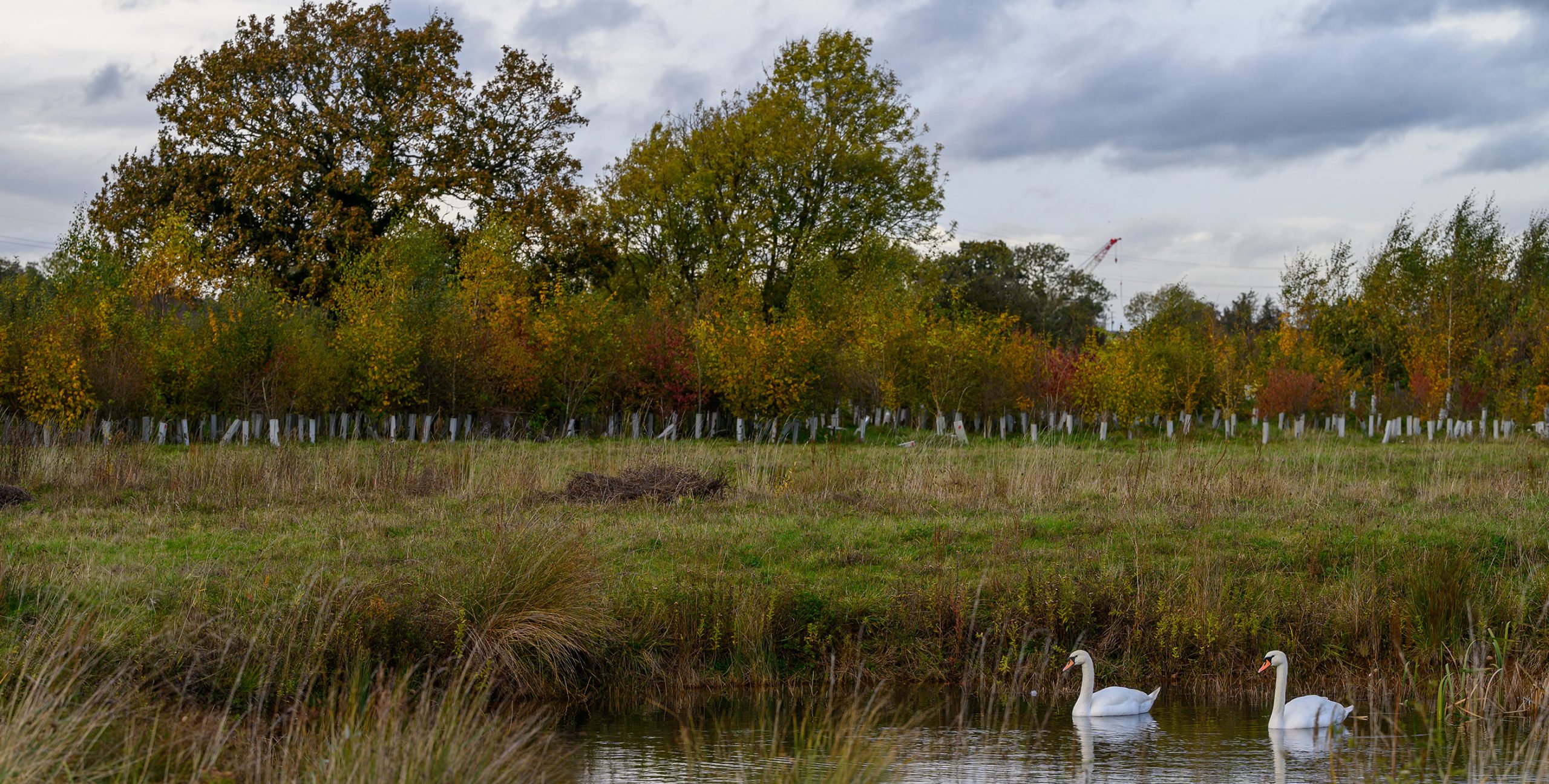
Protected animal species
Protecting important and legally protected species is just as important as protecting their habitats. We’ve studied how construction may affect wildlife and developed specific steps to reduce any impact. This covers bats, birds and amphibians.
How tunnels and cuttings protect wildlife
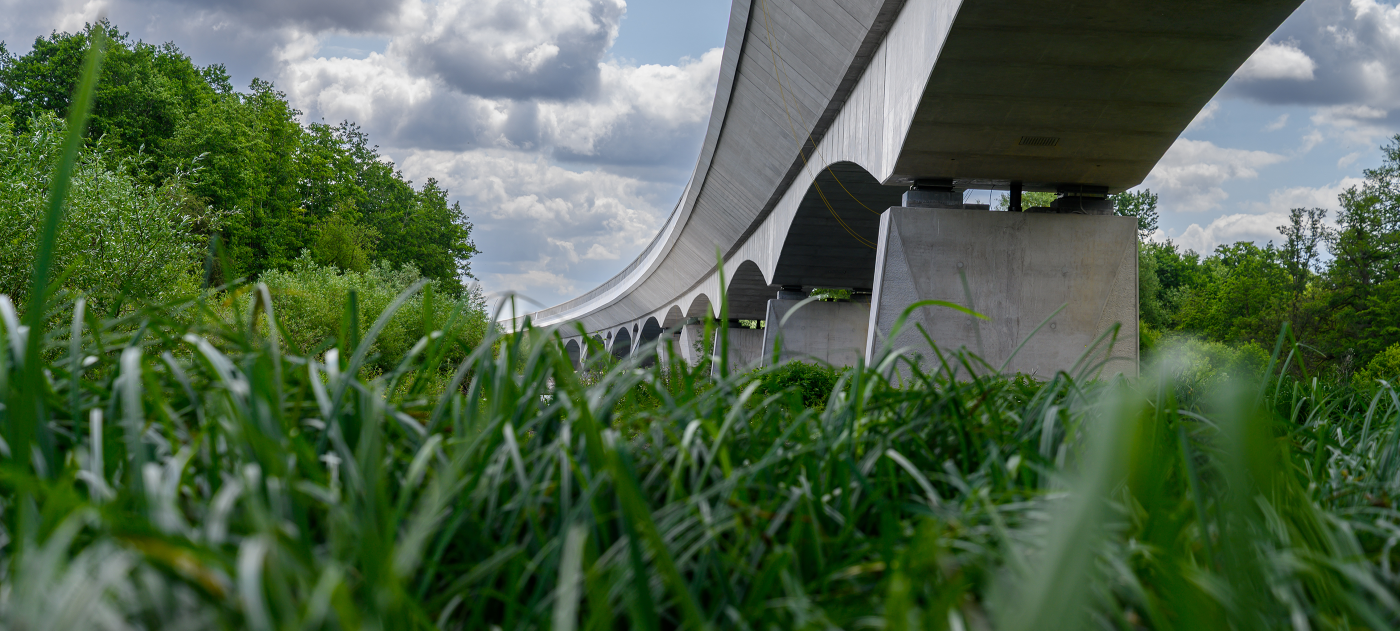
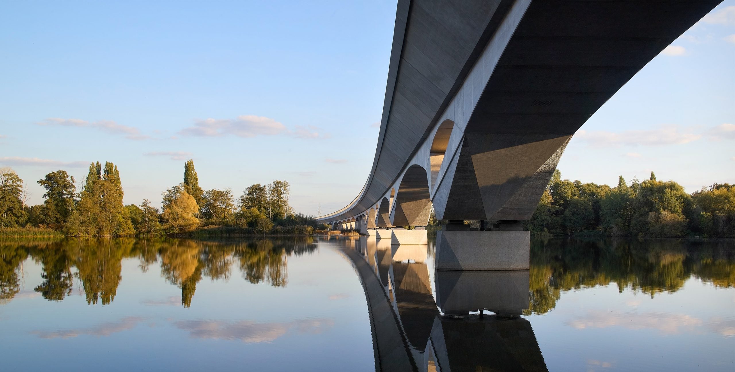
Over half of the HS2 route runs through tunnels and cuttings. This helps preserve important wildlife habitats, including Sites of Special Scientific Interest like Long Itchington Wood in Warwickshire.
Ancient woodlands
We’ve designed HS2 to avoid habitats that cannot be replaced wherever possible.
Nature recovery funds
Our Community and Environment Fund and Business and Local Economy Fund support communities affected by HS2 construction between London and the West Midlands. We have £40 million available to fund projects along the route. So far, more than 70 environmental projects have received more than £3 million through the Community and Environment Fund.
As well as our core woodland compensation programme – supporting hundreds of hectares of new planting – we’re investing in the restoration and expansion of native woodlands. Through a £5 million Woodland Fund, we’re helping landowners restore ancient woodlands and create new native woodlands along the route.
HS2 and biodiversity
Our goal is to make sure the overall amount and quality of wildlife habitat is maintained across the route. This helps protect and support nature for the long term.
HS2 works near you
Sign up for updates about construction in your area. We’ll tell you what we’re building, when we’re working and what we’re doing to reduce disruption.